
Springfield Township ZIP Code Directory Areas
Springfield Township is served by three primary postal-place combinations: Flourtown 19031, Wyndmoor or Erdenheim 19038, and Oreland 19075. Township parks, the administration and library address, and fire-company contacts provide the local evidence for those combinations. They are more useful for local context than assuming one postal city covers the whole Township. A postal place is a delivery convention, while Montgomery County records use municipal jurisdiction and parcel information.
| ZIP | Township areas evidenced by official addresses | Postal name used locally | Record-search caution |
|---|---|---|---|
| 19031 | Flourtown, including Bysher and Fulginiti park locations | Flourtown | The postal place does not declare a municipal boundary. |
| 19038 | Wyndmoor and Erdenheim, including Township administration, library, and Cisco Park | Wyndmoor / Erdenheim | Both names occur in Township addressing; verify a delivery address. |
| 19075 | Oreland, including Oreland Mill Road, Marlow Field, Sandy Run, and McKelvie locations | Oreland | The postal area reaches beyond a single municipal boundary. |
The Township’s fire-company information independently places Flourtown Fire Company in 19031, Wyndmoor Hose Company in 19038, and Oreland Fire Company in 19075.
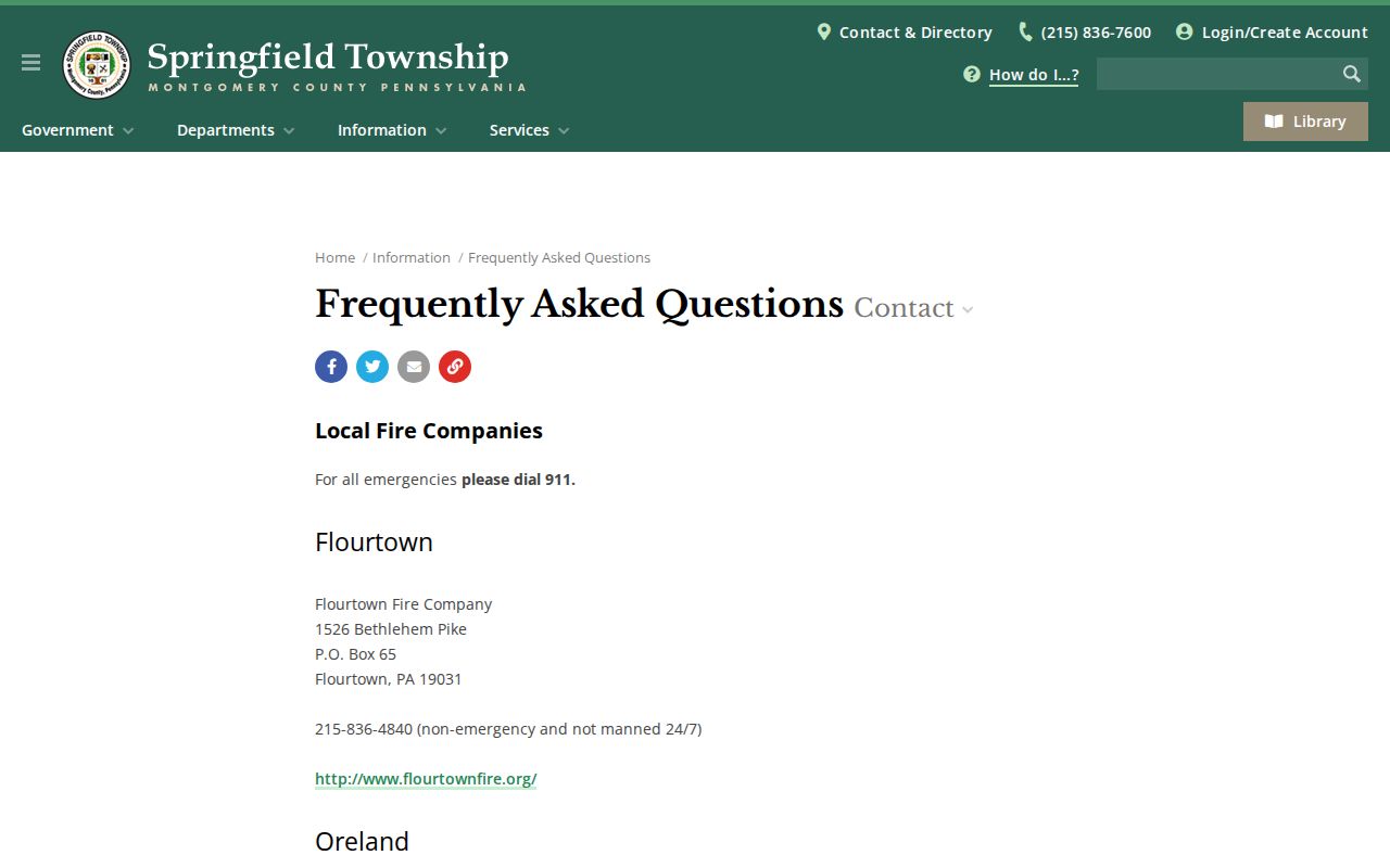
The fire-company list corroborates the three local postal combinations, but it is not a boundary map or a directory of people.
Flourtown 19031 ZIP Code Evidence
Flourtown 19031 is supported by Township locations in the Flourtown portion of Springfield Township. The parks inventory identifies Bysher Field at 50 Bysher Avenue and includes Fulginiti park locations under that postal combination. The fire-company listing provides a second official local reference. These are address examples, not a claim that every 19031 address is in Springfield Township. A full delivery address still needs postal verification, and County property research should use the municipality rather than the postal name alone.
For a local visual reference, the Township’s parks and facilities page groups the official park addresses used to distinguish the three postal areas.
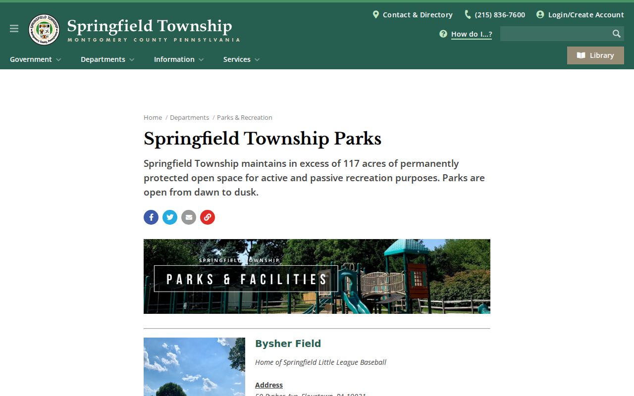
These public-address examples help establish place names, while the County property system determines whether an address is in Springfield Township for a records search.
Springfield Township 19038 ZIP Code Context
The 19038 area has a dual local label: Wyndmoor and Erdenheim both appear in Township addressing. The Administration and Police building at 1510 Paper Mill Road and the Free Library at 8900 Hawthorne Lane use Wyndmoor 19038. Cisco Park is listed at 199 West Montgomery Avenue, Erdenheim 19038. The shared postal context is a reason to retain the street address and municipality when comparing public records, even when the postal label looks familiar.
Neither name creates a separate Township record system. The municipal address, the County parcel, and a recorded deed are still collected through their respective Township or Montgomery County channels.
Oreland 19075 ZIP Code Context
Oreland 19075 covers documented Township locations that include Oreland Mill Road, Marlow Field, Sandy Run, and McKelvie park locations. The Township also lists Oreland Fire Company in the same postal area. Because the Oreland postal area reaches beyond any one municipal boundary, a 19075 result should narrow a search, not decide the government jurisdiction. That distinction is especially important when an address has a common street name or sits near a Township line.
Note: A postal name helps mail delivery, while the Municipality field and parcel record identify the local jurisdiction for County property research.
Verify a Springfield Township ZIP Code
The USPS ZIP Code Lookup is the final delivery-address check. It offers address, city/state, and city-by-ZIP modes. In the by-address route, Company is optional and Street Address is required. City/state returns ZIPs for a named postal city, while city-by-ZIP returns the postal names served by that ZIP. USPS specifically warns that a result does not confirm a person or company is at an address, which keeps the lookup in its proper role.
| USPS mode or field | Use | Required status | What it confirms |
|---|---|---|---|
| Address mode | Check one delivery address | Street Address required; Company optional | Postal ZIP for the submitted address. |
| City and state mode | Find ZIPs used for a named postal city | Mode-specific input | Postal choices, not municipal boundaries. |
| City by ZIP mode | Check postal names served by a ZIP | ZIP required | Postal-place associations for that ZIP. |
The USPS lookup form is the source for these postal validation options.
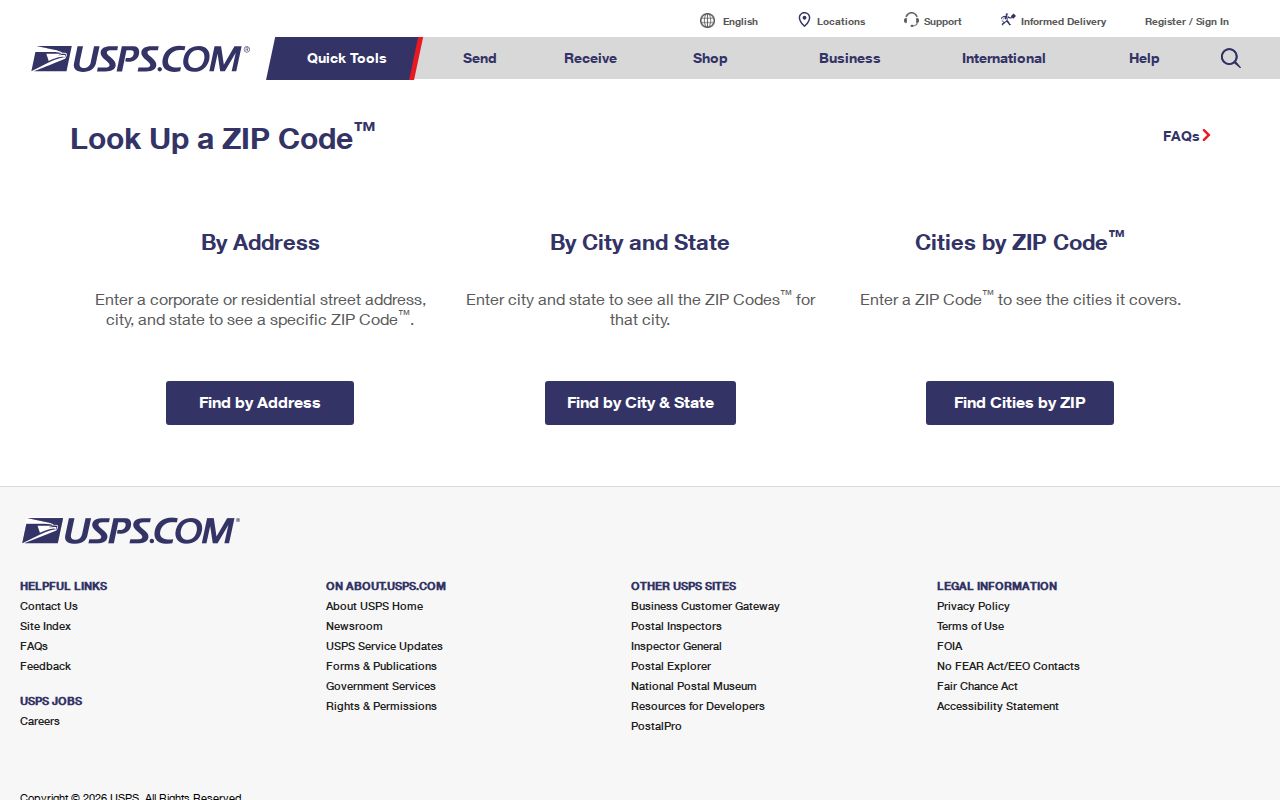
Use the resulting postal information to check an address before a records search, not as evidence that a named person occupies it.
Springfield Township ZIP Code Directory Research
A ZIP can organize a known address, but no verified County property portal produces all residents within one ZIP. The practical public-record filter is Municipality = Springfield Township in the address search. The state voter-status service also uses a five-digit ZIP as one input for an individual’s own confirmation, yet it is not a browseable Township or ZIP roster. Start with an address or a person’s own confirmed information, then stay within the access rules of the relevant custodian.
- Validate the complete delivery address with USPS, using the address mode when the street address is known.
- Search County Property Records by street address and choose Springfield Township from the Municipality dropdown. Do not expect a ZIP filter.
- Use the address result to identify the parcel and sales reference, then follow the Recorder path for a recorded document when a title question remains.
- Use Pennsylvania’s voter-status tool only for individual confirmation through its required personal inputs. It is not a way to browse an area.
- When the task becomes a named-street record trail, use the address-first method on the Springfield Township Street Directory page.
The result is narrower but more accurate: a postal area suggests where to validate an address, and the municipal property system provides the actual County jurisdiction filter.
Springfield Township Property Records Have No ZIP Filter
Montgomery County’s Property Records Website allows address, parcel, advanced, and map research. Its advanced options include such criteria as municipality, street name, street number, sales date, sales price, parcel number, style, lot size, and square footage. The documented criteria do not include ZIP. The address form likewise requires Street and provides a Municipality dropdown, but no ZIP field. That is an important comparison between postal searching and property-record searching: the first checks mail delivery, while the second locates a County record unit.
The County advanced-property search illustrates the municipality-based alternative to a ZIP query.
Use the portal’s list of actual fields rather than forcing a postal filter into a system that does not publish one. Its address and parcel results are property evidence, not a list of people.
Note: County property data updates weekly and map data updates daily, so a current date should accompany any records comparison.
Springfield Township ZIP Code Voter Check
Pennsylvania’s voter-registration status form uses ZIP as one part of an individual confirmation process. It asks for first name, last name, birth date in mm/dd/yyyy form, county, and a five-digit ZIP. Middle name or initial, suffix, email, and phone are optional. CAPTCHA and submission are required. The Commonwealth says the information updates weekly and that the name must match the voter file exactly, with alternatives such as punctuation or accent variations worth trying when a person checking their own record does not match.
This is not a ZIP-area directory. The state directs people to the form, the county voter-registration office, or 1-877-VOTESPA for their own status. Montgomery County says the self-checker can be used to confirm a voter’s current name, address, political affiliation, polling place, and demographic information. That limited confirmation purpose is different from the County’s Street List request process, which has qualified-elector, identification, use, and publication rules.
Use the Commonwealth’s voter-registration status page for the official individual-check channels. A ZIP should narrow the form’s own confirmation inputs, not be treated as a way to enumerate a postal area.
Historic Springfield Township Road Names
ZIP codes do not solve older address problems. The Historical Society’s map chronology notes that Paper Mill Road was called the road to Willow Grove in 1855 and that Church Road was called Cherry Road in 1860. It also records changing forms such as Flour Town and Flower Town. When a deed, map, or family record uses an older description, compare road names with the lot or plan reference, parcel information, and deed book/page before treating the modern postal label as decisive.
Historic maps can include planned roads that were never built and intentional copyright-trap errors. They are valuable dated clues, not a replacement for a recorded legal description. Springfield Township’s current 52-prefix identifiers are useful modern location aids, but they do not replace an older deed description.
Springfield Township ZIP Code Boundaries
Postal and Township lines solve different problems. The three local postal combinations overlap the way mail is routed, while the County records system identifies land by address, parcel, and municipality. That is why a delivery result should never be treated as a residents list, a municipal-boundary ruling, or proof of occupancy. The same caution applies to a property record: its owner or mailing party can be useful recorded evidence without proving every person connected to that address.
- ZIP and ZIP+4
- A five-digit ZIP identifies a postal delivery area; ZIP+4 adds a more specific delivery segment. Neither defines a Township boundary.
- PO-box ZIP
- A postal code assigned for box delivery. The research did not identify one as a separate Springfield Township records filter.
- Unique ZIP
- A ZIP assigned to a single organization or large delivery destination. No unique Springfield Township postal code was verified in the research.
- Carrier route
- A mail-delivery grouping used by USPS. It is not a County parcel, municipal jurisdiction, or resident record.
Use a postal area to verify the address, then follow the custodian that holds the record needed. That boundary keeps the Springfield Township ZIP code directory useful without claiming more than the underlying systems can show.