
Trace a Springfield Township Street Directory
A Springfield Township street search works best as an address trail, not a name list. The County Property Records Website takes a street address or parcel number, while the Recorder of Deeds can search recorded land documents by name, address, or Parcel Identification Number. The Township adds specific permit and zoning records when a request identifies the address and record sought. Each result has a different purpose. A parcel helps locate land, a deed records a transaction, and a municipal file can describe a project. None alone establishes every current household connection at that address.
- Enter the known address in the County Property Records address search. Include Springfield Township in the Municipality control when a similar street exists elsewhere in Montgomery County.
- Confirm the parcel and open the Sales information. Record the deed book and page reference, the record type, and the date before moving to a second system.
- Use the Recorder’s public-access route for the referenced instrument. Its published criteria include address, party name, and Parcel Identification Number, so the parcel can bridge the County systems.
- Open the County map view to see the parcel in relation to the street and nearby parcels. Treat its geometry as a visual aid, not a survey or a household list.
- For a specific Township permit or zoning matter, identify the address, record type, and approximate time period in a Right-to-Know request. There is no verified public online permit-results index.
- For an older location, compare deed references and historic maps before deciding that a road name or address has disappeared. Older instruments can require the Recorder’s Norristown terminals.
That sequence keeps the search tied to public records that are actually keyed to an address. A recorded owner or mailing party is useful evidence, but it should not be converted into a claim about every person who may live there.
Springfield Township Street Directory Search Fields
The County’s address form makes the Street field mandatory. Number, direction, suffix, unit, and municipality are optional. A street-only search returns starts-with results, and an asterisk is accepted as a wildcard. Selecting Springfield Township matters because it narrows a common street name to the correct municipal jurisdiction. The portal also offers parcel, advanced, and map modes, but it has no ZIP field and no owner-name input.
| Property-search field | Entry type | Required | Springfield Township use |
|---|---|---|---|
| Number | Text, up to six characters | No | Pairs with the street to narrow numbered address variations. |
| Direction | Dropdown | No | Separates directional street forms where supplied. |
| Street | Text, up to 20 characters | Yes | Returns street or starts-with results; * is accepted. |
| Suffix | Dropdown | No | Use the portal’s road, avenue, lane, and other suffix options. |
| Unit and Municipality | Text and dropdown | No | Add a unit when known and select Springfield Township to reduce false matches. |
The address-search screen shows the controls used for this address route.
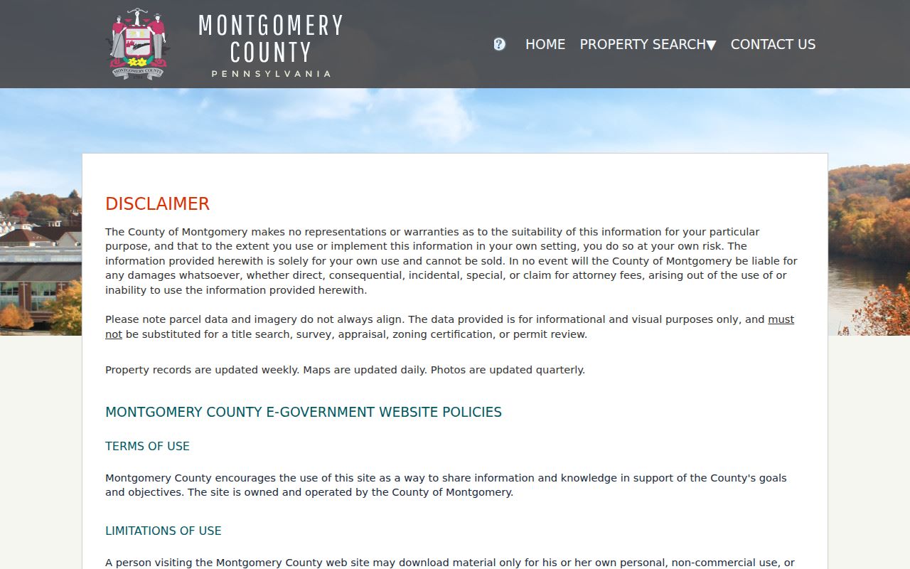
Its Owner Name result sort is only a way to order returned address results. Montgomery County removed public owner-name searching on June 17, 2022, so an address search cannot begin with an owner name in this portal.
Note: Property information updates weekly, maps daily, and imagery quarterly, so record dates should be checked before relying on a result.
Springfield Township’s 52 Parcel Prefix
Springfield Township parcel and tax identifiers begin with 52. The local Historical Society uses that prefix in its property-research method, where a current property record leads to the Sales tab and then to a deed book and page. That is a practical local detail, not a substitute for checking the whole parcel identifier. The current portal can display a 12-digit Parcel ID and an 8-character Tax ID, and the map connects those identifiers to the outlined parcel.
- Parcel
- A numbered land-record unit used by the County to connect a property record, map location, and sales information.
- Situs address
- The physical location used to identify a property. It can differ from an owner’s mailing address in a recorded record.
- Plat
- A recorded plan or map that depicts lots, boundaries, or a subdivision. It is not a current proof of who is present at a location.
- Criss-cross directory
- An address-ordered historical directory. No verified Springfield Township run was located, so it should not be assumed to be a local source.
The prefix is a useful quirk because the County has removed the reverse owner-name route. Start from an address or parcel, then use the recorded document trail if a party name is needed.
Springfield Township Street Directory Deed Chain
The Recorder of Deeds keeps Montgomery County land records from September 10, 1784. For current street research, a free account opens the public-record search path, although remote document images need a paid subscription. The office confirms name, address, and Parcel Identification Number as search criteria. That is why an address result and a sale reference make a workable bridge: copy the book and page, find the instrument, then record the grantor, grantee, record type, and any prior book/page reference before continuing backward.
Remote images cost $25 for a calendar-day subscription or $300 for a monthly subscription. Plain-image prints after subscription are 50 cents per page, and an e-certified copy is $10.50. The public computers at the Recorder’s Norristown office are an important alternative. The local Historical Society says records from the mid-1970s forward can be approached remotely, while older deed images may require the Recorder’s third-floor terminal and Image Sync route. This contrast prevents a street-by-street search from stopping when a remote image is unavailable.
The Recorder’s Public Access System instructions explain the account and access options used for the deed portion of address research.
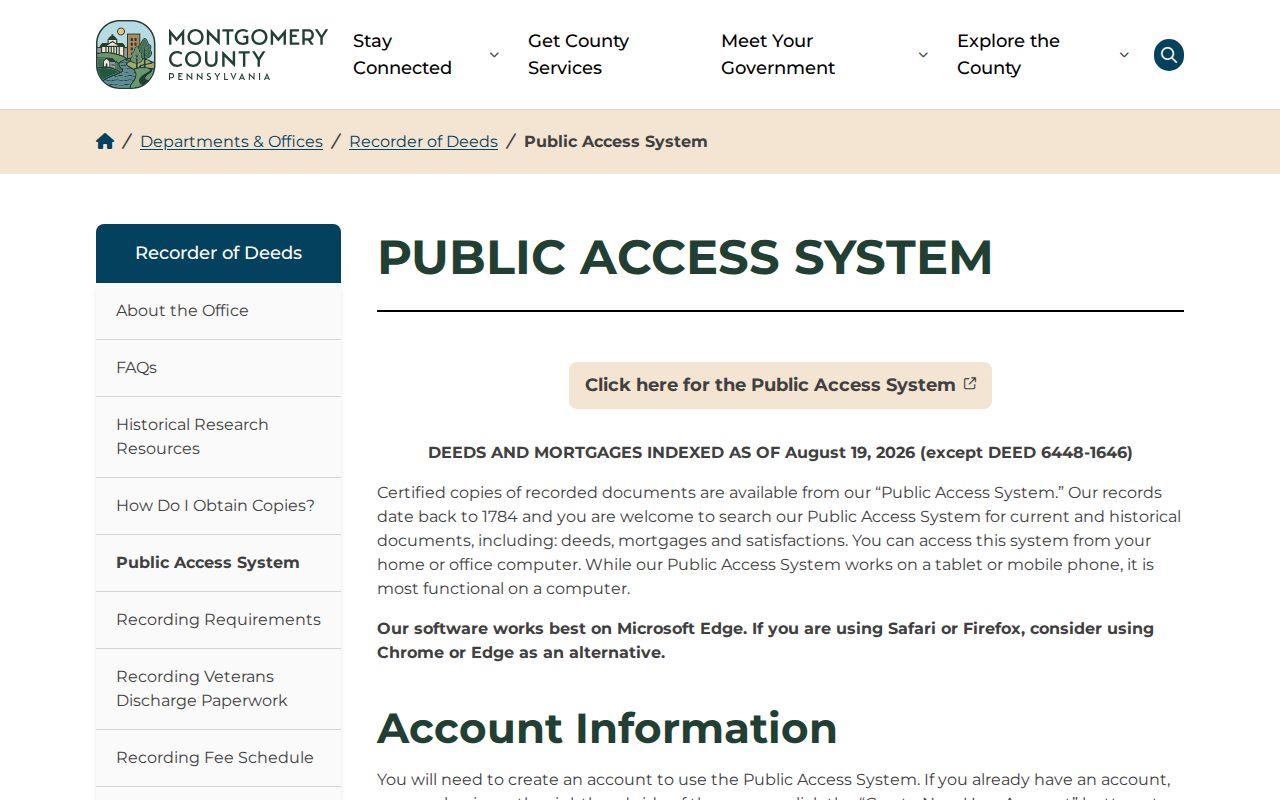
For copies, the Recorder also provides counter, mail, subscription, and e-certified channels. Staff can give general information by phone but do not conduct searches for a requester.
Map a Springfield Township Street
The Property Records map supports an address trail after the parcel is known. Its documented controls include parcel-ID search, pan and zoom, GIS Identify, measurement, printing, and selection by point, box, polygon, line, or freehand. A buffer tool accepts a distance from 100 to 1000 in feet or meters, with center-point or polygon choices. Use those controls to see the recorded parcels around an anchor address, then inspect each selected parcel through the related property record.
The County cautions that the tax map is not a survey. Parcel boundaries and imagery can fail to align, and a map identifies record units rather than household members. For a full named-street address trail, the map should follow the property search, not replace it. The map can locate adjoining parcels; it cannot establish everyone who is present at each location.
Springfield Township Property Data Requests
The Board of Assessment Appeals supplies more than the on-screen address result. Its property-data channel offers county parcel datasets through the Open Data Portal, the interactive tax map, and custom data or map requests. This is useful when a Springfield Township street question needs a defined parcel dataset or map rather than repeated individual searches. The County says the basic downloads are free. A custom report or map is quoted before work, paid by check to the Montgomery County Treasurer, and timed according to scope, workload, and complexity.
The County’s property data and requests page describes the open-data, interactive-map, and custom-request options.
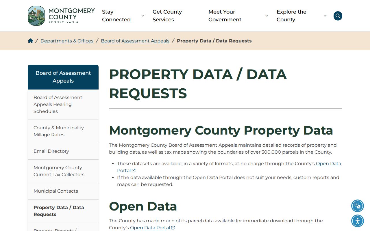
A custom extract can organize parcel information, but it remains property data. The County’s address-first privacy limits still apply, including the absence of an owner-name input search.
Springfield Township Street Records by Address
Several official and local sources can add a layer to an address search, but their boundaries differ. The property record supplies the address-to-parcel connection. The Recorder supplies the land-document chain. Township files can describe a defined public application or project. Historic maps add dated location clues. The election-record route has its own eligibility and publication limits.
| Address source | Custodian | Useful result | Access route |
|---|---|---|---|
| Property record | Board of Assessment Appeals | Parcel, property data, sales reference, and map linkage | Address, parcel, advanced, or map search; data request. |
| Tax map | Montgomery County | Parcel geometry and surrounding street context | Interactive map; visual use only, not a survey. |
| Recorded deed or plan | Recorder of Deeds | Grantor, grantee, book/page, record type, and prior reference | Public Access System, office terminal, counter, mail, or subscription image. |
| Permit or zoning item | Township Community Development | Described work or a public application at a defined address | Permit office, agenda/minutes, or specific Right-to-Know request. |
| Historic map or atlas | Springfield Township Historical Society | Dated owner, building, road, or lot clues | Archive and property-research channels. |
| County Street List | Voter Services | Name and residential address within the authorized election-record request | Qualified-elector request with identification and use limits. |
Follow the key that the source actually supplies. Parcel identifiers join property and map records. Book and page join sales data to a recorded instrument. A street name alone does not turn these separate collections into a current residents list.
Springfield Township Permit Records by Address
Community Development administers building, electrical, mechanical, plumbing, pool-pumping, portable-storage, and related permits. The Township says work cannot begin until a signed permit is issued. Its public material describes applications, plans, site plans, fee payment, and review. It does not verify a general online permit database that can be searched street by street. A focused request should identify the address, desired permit type, and approximate date instead of assuming a portal exists.
The Township’s Building Permits and Inspections page is the published route for the permit process.
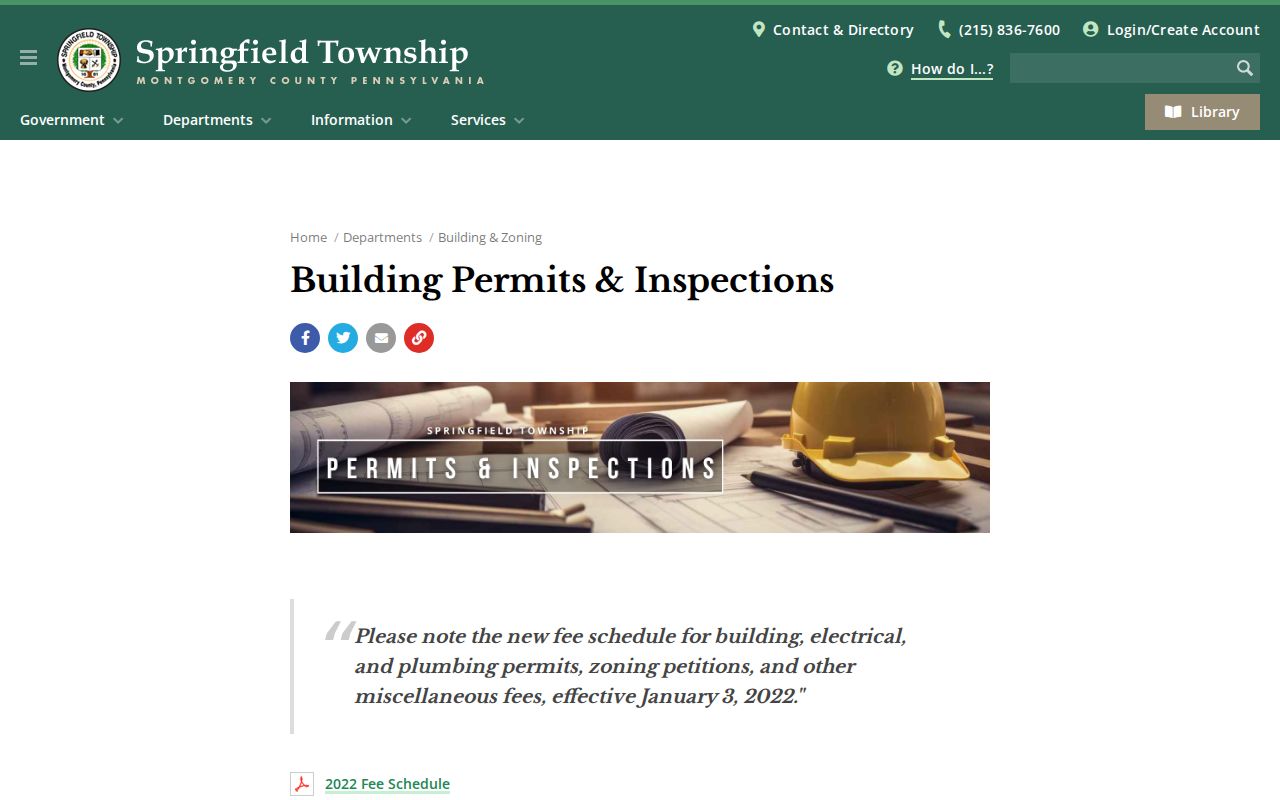
For records rather than a new application, use the Township’s non-police records route for a specifically described municipal file. Police records follow a separate policy, and permit evidence should be read as a project record, not a list of people at the address.
Note: A precise address and date range make a municipal records request more useful than a broad request for all activity on a street.
Springfield Township Street Names Change
Old map labels can make an address search look incomplete when the property has simply been described differently over time. The Historical Society notes that Paper Mill Road appeared as the road to Willow Grove in 1855, and Church Road was called Cherry Road in 1860. Its map chronology also records changing forms such as Flour Town and Flower Town. Compare the historic road name, lot or plan description, parcel reference, and deed book/page before ruling out a match.
Maps may show planned roads that were never built and can contain intentional copyright-trap errors. They are valuable date-specific clues, not final boundary proof. The Historical Society’s archived map and telephone-book paths complement the modern parcel workflow; its broader historical holdings are described with the local context on the Springfield Township City Directory page.
Springfield Township Street List Rules
Pennsylvania’s public voter-status tool is an individual confirmation service, not an open street-browse directory. The County’s formal Street List is the address-based election-record channel. It is available to qualified registered electors under the cited election statutes and SURE regulations, and a request needs a government-issued ID photocopy to confirm registration. The County request form also has Public Information List and Individual Voter Information options.
The County says requests generally receive a response within ten calendar days after receipt unless law provides otherwise. The request requires an affirmation about permitted use, and the form says internet publication of the lists is prohibited. Those terms are central to a lawful address search. A street list can be an authorized election-record output, not material to republish or use to target households.
Use the County voter-records request instructions for the actual request types, identification requirement, and delivery channels.
Limits of a Springfield Township Street Directory
Address records can identify a property, a recorded party, a transaction, a dated map label, or a defined municipal record. They cannot certify every household connection at an address. The County’s own property system removed reverse owner searching for privacy reasons, its map is not a survey, and the voter-record route has narrow election-law terms. A missing result may reflect a changed road name, a protected address, a limited-access record, or a source that was never designed for a public street search.
Lawful use. Use Springfield Township address records for a legitimate personal, civic, family-history, or property-research purpose. Do not use names, maps, or public records to stalk, harass, intimidate, or harm anyone.
When a search is uncertain, return to the original custodian, preserve the source date, and ask for the particular public record needed. That approach is more reliable than treating a result as a complete account of a home or its occupants.